
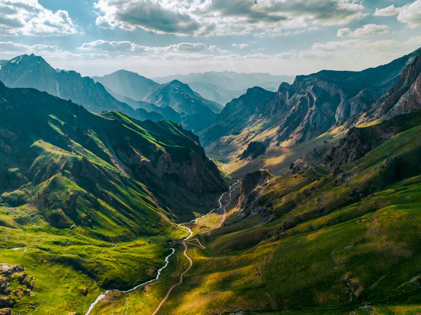
Maps are visual tools that show the world in a simplified way. They use symbols, colors, and labels to represent real places. The things they represent are called geographical features. These are the natural and human-made elements that make up the landscape. Natural features include mountains, rivers, and forests. Human-made features include roads, cities, and borders. Learning to read these features is a core skill for understanding any map.
What Are Natural Geographical Features on a Map?
Natural geographical features are parts of the landscape that were not created by people. They exist on their own. When you look at a map, these features tell you about the shape of the land and the water on it.
Mountains and hills are shown with contour lines or shaded colors. Contour lines are thin brown lines that connect points of equal elevation. When the lines are close together, the slope is steep. When they are far apart, the ground is flatter. Many digital maps use shaded relief instead, which makes mountains look three-dimensional.
Water features are usually shown in blue. Rivers appear as blue lines that get wider as they flow toward the sea. Lakes and oceans are large blue areas. The map may also show smaller streams, canals, and even seasonal rivers that dry up at certain times of the year.
Forests and other vegetation are often green. On a topographic map, a forest might be a solid green area. On a political map, green might mean something different, such as a low elevation. You always need to check the map legend to know what the colors mean.
Deserts are commonly shown as tan or light brown areas. Some maps use small dots to represent sand. Glaciers and ice caps appear as white areas on maps of cold regions. These natural features are consistent across different maps, but the symbols can vary.
What Are Human-Made Geographical Features on a Map?
Human-made features are things built by people. They are also called cultural features. These include roads, railways, buildings, and political boundaries.
Roads are drawn with lines of different widths and colors. A major highway is usually a thick red or orange line. A local street is a thin white or gray line. Railways are often shown as a line with small tick marks crossing it, resembling a railroad track.
Cities and towns are represented by dots or shaded areas. The size of the symbol usually reflects the population. A large city has a bigger dot or a colored patch. A small village may only be a tiny circle with a name next to it.
Political boundaries are the lines that separate countries, states, or counties. These are usually dashed lines. A border between two countries is often a distinct dashed line with a different pattern than a state line. On some maps, borders are solid lines with a specific color.
Other human-made features include airports, dams, bridges, and parks. Airports have a small airplane symbol. Parks are often green, even on maps where green is not used for vegetation. This is because parks are protected open spaces.
How Do Map Symbols and Legends Work?
A map legend is the key to understanding the map. It is a small box, usually in a corner, that explains what each symbol means. Without a legend, a map is just a collection of lines and colors. With it, you can read the landscape.
Legends vary by map type. A road map has a legend showing highway numbers and road types. A topographic map has a legend explaining contour intervals and elevation colors. A weather map has a legend for temperature and precipitation symbols.
Map symbols are not universal. A symbol that means one thing on a European map may mean something different on a North American map. This is why you should always check the legend first. Even experienced map readers do this every time.
Colors follow general conventions but are not guaranteed. Blue is almost always water. Green is often vegetation or low elevation. Brown is usually contour lines or desert. Red is frequently used for major roads or important boundaries. But the legend is the only reliable source of truth.





What Is the Difference Between Physical and Political Maps?
Physical maps focus on natural features. They show mountains, rivers, deserts, and elevation. They do not usually show roads or city names. Their purpose is to display the physical landscape of an area.
Political maps focus on human-made divisions. They show country borders, state lines, and city locations. They often use different colors to distinguish separate political regions. They are designed to show where one jurisdiction ends and another begins.
Many maps combine both. A typical atlas map will show elevation colors and also include city dots and border lines. These are called general reference maps. They serve both purposes at once.
Neither type is better than the other. They answer different questions. A physical map answers “What does the land look like?” A political map answers “Who governs this area?” You choose the map based on what you need to know.
How Do Scale and Distance Affect Map Reading?
Scale is the ratio between a distance on the map and the actual distance on the ground. A scale of 1:50,000 means that one unit on the map equals 50,000 of the same units on the ground. This is usually expressed in centimeters and kilometers or inches and miles.
Large-scale maps show a small area in great detail. A city map is a large-scale map. Small-scale maps show a large area with less detail. A world map is a small-scale map. The terms can be confusing because they refer to the ratio, not the physical size of the paper.
Scale affects which features are visible. On a small-scale map of a country, you will not see individual streams or local roads. On a large-scale map of a single valley, you can see those details clearly. Map makers choose what to include based on the scale and the purpose of the map.
Most maps include a graphic scale bar. This is a line marked with distances. You can use it to measure real distances with a ruler or your finger. This is often easier than working with the numerical ratio.
Why Are Coordinate Systems Important for Finding Features?
Coordinates are a precise way to locate a feature on a map. Latitude lines run horizontally and measure distance north or south of the equator. Longitude lines run vertically and measure distance east or west of the prime meridian. Together they form a grid.
Every place on Earth has a unique combination of latitude and longitude. This is called its absolute location. When you give coordinates like 40.7128° N, 74.0060° W, you are identifying a single point on the planet. No other place shares those exact numbers.
Modern GPS devices use this system constantly. The Global Positioning System calculates your exact position using satellites and displays it as coordinates on a map. This is the same coordinate system used on paper maps, just automated.
Understanding coordinates helps you find features that are not labeled. If you have the coordinates of a mountain peak or a remote village, you can locate it on a map without any other reference. This is especially useful in areas with few named landmarks.
How Do Different Map Projections Change Features?
A map projection is a method of showing the round Earth on a flat surface. This is mathematically impossible to do without distortion. Every projection distorts something: shape, area, distance, or direction.
The Mercator projection is one of the most famous. It preserves shapes and directions, which made it valuable for navigation. But it distorts area severely. Landmasses near the poles appear much larger than they really are. Greenland looks similar in size to Africa on a Mercator map, but Africa is actually about 14 times larger.
The Robinson projection tries to balance all distortions. It does not preserve any single property perfectly, but it looks more natural to the human eye. Many world maps in textbooks use this projection.
The equal-area projection preserves the true size of landmasses. Shapes are distorted, but the relative areas are accurate. This matters when comparing the size of countries or continents. No projection is perfect. The best one depends on the map’s purpose.
Frequently Asked Questions
What are the main types of geographical features on a map?
The main types are natural features like mountains, rivers, and forests, and human-made features like roads, cities, and borders. Natural features exist without human intervention, while human-made features are constructed by people.
Why do maps use symbols instead of pictures?
Symbols keep maps clear and readable at small sizes. A tiny icon can represent a hospital, a campsite, or a mine without cluttering the map with detailed drawings.
How can I tell the difference between a river and a road on a map?
Rivers are almost always blue, while roads are typically red, orange, or gray. Rivers also follow natural curves and connect to lakes or oceans, while roads follow straighter paths and connect to cities.
What does a contour line mean on a topographic map?
A contour line connects points of equal elevation above sea level. The spacing between lines shows the steepness of the terrain, with close lines indicating steep slopes and wide lines indicating flat ground.