
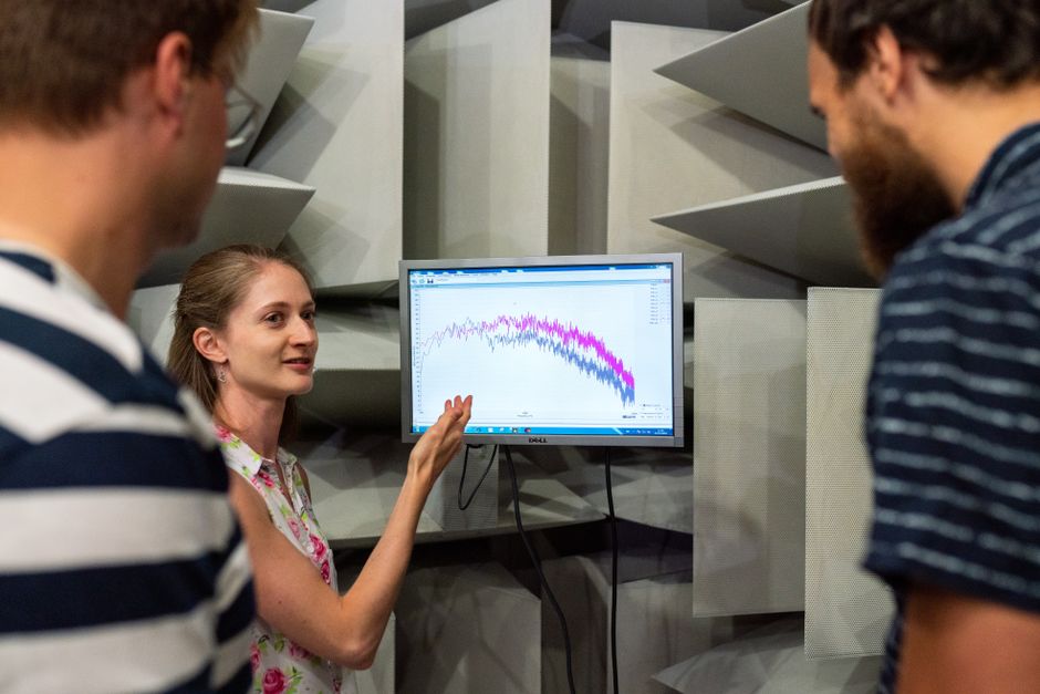
Engineers use seismic data for two very different but equally critical purposes: designing buildings that can survive earthquakes and finding oil and gas deposits deep underground. For buildings, seismic data reveals how the ground moves during an earthquake so engineers can design structures that flex without collapsing. For drilling, engineers create artificial seismic waves to map underground rock layers and identify locations where oil and gas may be trapped. Both applications rely on the same basic principle — measuring how seismic waves travel through the Earth.
What Is Seismic Data and How Is It Collected?
Seismic data is information about how waves of energy move through the Earth. These waves can come from natural earthquakes or from controlled human-made sources. In earthquake engineering, sensors called seismometers record ground motion during real earthquakes. In oil and gas exploration, engineers use vibrator trucks or small explosions to create waves, then record the reflections with geophones or hydrophones.
The waves travel at different speeds through different materials. Dense rock transmits waves faster than loose soil. By analyzing how long waves take to travel from source to receiver, engineers can create detailed images of subsurface structures. This is the same technology used to map the inside of the planet, but applied at different scales.
How Do Engineers Use Seismic Data to Design Earthquake-Resistant Buildings?
Before designing a building, civil engineers study the seismic history of the location. They look at records of past earthquakes and the soil conditions at the construction site. Soft soil can amplify shaking, while bedrock transmits less energy. Building codes in earthquake-prone regions require engineers to factor in this site-specific seismic data.
Using this data, engineers calculate how much force a building may experience during an earthquake. They design structural elements such as shear walls, cross-bracing, and dampers to absorb and dissipate that energy. Buildings are also designed to sway rather than break. The goal is not to prevent all damage — that is often impossible — but to prevent collapse and allow occupants to evacuate safely.
Seismic data also informs retrofitting of older buildings. Engineers analyze how a building’s existing structure would perform in a quake and decide which components need reinforcement. This work has saved countless lives in regions like Japan, California, and Chile.
How Do Engineers Use Seismic Data for Oil and Gas Drilling?
Exploration geophysicists and petroleum engineers use seismic data to find underground reservoirs of oil and natural gas. They conduct a seismic survey by sending sound waves into the ground and recording the echoes. Different rock layers reflect the waves differently. A layer of porous sandstone filled with oil returns a distinct signal compared to solid granite.
Engineers create three-dimensional models of the subsurface from this data. These models show the shape and depth of rock layers, faults, and traps where oil and gas may accumulate. Drilling a well is expensive — often millions of dollars — so accurate seismic data reduces the risk of drilling a dry hole. Without it, exploration would be little more than guesswork.
Seismic data is also used during drilling to monitor changes in pressure and rock properties. This helps drillers avoid dangerous blowouts and keep the well on target. Some advanced techniques, such as 4D seismic surveys, show how a reservoir changes over time as oil is extracted, helping engineers optimize production.





What Technologies Are Used to Collect Seismic Data?
For building design, the key instruments are accelerometers and seismometers. These are often installed in arrays across cities or at specific construction sites. Modern networks stream data in real time to monitoring centers. Engineers use this data to update building codes and design standards as new earthquake patterns emerge.
For drilling exploration, the main tool is the seismic reflection survey. On land, large trucks with vibrating plates (vibroseis) generate waves. At sea, air guns produce sound pulses. Thousands of sensors called geophones or hydrophones record the returning waves. The data is processed by powerful computers to create detailed images of subsurface geology.
Machine learning is increasingly being used to interpret seismic data faster and more accurately. However, human expertise remains essential to validate the results and avoid costly mistakes.
How Accurate Is Seismic Data for These Purposes?
Seismic data for building design is highly reliable in areas with good historical records and dense monitoring networks. Engineers can predict ground motion probabilities with reasonable confidence. However, no one can predict the exact timing or strength of an earthquake. Seismic data gives probabilities, not certainties. Building designs must therefore include safety margins.
For oil and gas drilling, seismic data can accurately map large rock structures but often misses smaller details. False positives are common — a promising seismic anomaly may turn out to be salt water or a non-porous rock. Only drilling can confirm what is actually there. The industry typically drills only one successful well for every few tries, even with the best seismic data. Accuracy improves with experience in a particular basin.
What Are the Limitations of Seismic Data?
Seismic data has inherent limits. Resolution decreases with depth – waves spread and lose detail. Steeply tilted rock layers or complex fault zones can distort signals. In urban areas, background noise from traffic and machinery interferes with sensitive measurements for building design. In deep water or mountainous terrain, conducting a seismic survey is physically challenging and expensive.
Another limitation is that seismic data shows rock layers and structures, not directly the presence of oil or gas. Engineers must combine seismic data with well logs, core samples, and other geological information to make drilling decisions. Over-reliance on seismic data alone can lead to dry wells.
Frequently Asked Questions
What is the difference between seismic data for buildings and for drilling?
For buildings, engineers use data from natural earthquakes to design structures that resist shaking. For drilling, engineers create artificial seismic waves to map underground rock layers and locate oil or gas.
How deep can seismic data see for oil exploration?
Seismic surveys can image rock layers more than 10 kilometers deep, but resolution decreases with depth. Most oil and gas reservoirs are found between 1 and 5 kilometers below the surface.
Do engineers need seismic data for every building?
No. Building codes require seismic analysis only in earthquake-prone regions. In low-hazard areas, standard structural design is sufficient.
Can seismic data predict exactly when an earthquake will happen?
No. Seismic data shows past ground motion and soil behavior, but it cannot predict the time or magnitude of a future earthquake. Engineers use probabilities, not predictions.